December in Aransas County — Where Community Shines Brightest
December in Aransas County is more than a calendar full of events — it’s a living reminder of our resilience, togetherness, and small-town charm. From shoreline lights to historic streets, every corner of Rockport–Fulton shines with community spirit all month long. December has arrived, and with it comes a season of celebrations across Rockport–Fulton and Aransas County. Our partners have lined up a full month of events that reflect who we are as a community — resilient, welcoming, and grounded in the spirit of togetherness. From Tropical Christmas and Christmas on the Beach, to historic home tours, art walks, concerts, markets, and holiday nights in the District — every corner of our county is alive with small-town charm and big-hearted energy. It’s a reminder that after everything this community has weathered, especially since Hurricane Harvey, Aransas County continues to rise with strength, creativity, and purpose. These festivities are more than events — they are proof of our shared resilience, our deep community roots, and the warmth that draws visitors, Winter Texans, and sojourners back year after year. As Aransas Pathways, we are grateful to stand alongside our partners in celebrating what makes this county extraordinary. And through our own Christmas on the Beach Volunteer Appreciation Night we want to kick off the month by inviting everyone to explore, support, and participate in the many holiday events happening throughout December. Every gathering, every stroll, every shared moment helps strengthen our community spirit — and that is the heart of our advocacy. Become Part of the Pathways Story If you believe in what we do, and if you want to be part of the small-but-mighty movement that keeps our trails, kayak sites, birding spots, and heritage venues thriving, we invite you to join us as a volunteer. Be part of the Pathways story. Become a Steward or Ambassador this season. Sign Up as a Volunteer: https://aransaspathways.com/volunteer-december Aransas Pathways Birding. History. Kayaking. Trails.One County, Countless Adventures. Photo Courtesy of Rockport-Fulton Chamber & Rockport Cultural Arts District
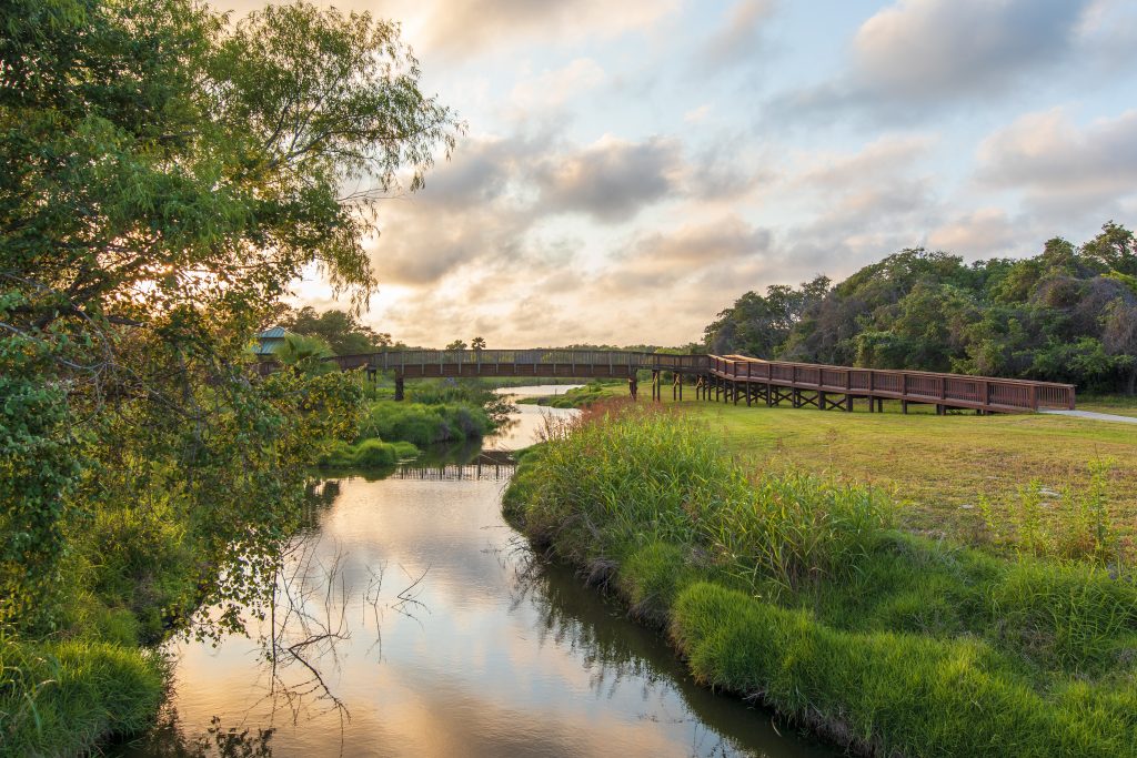
Shellcrete Birding and Nature Site
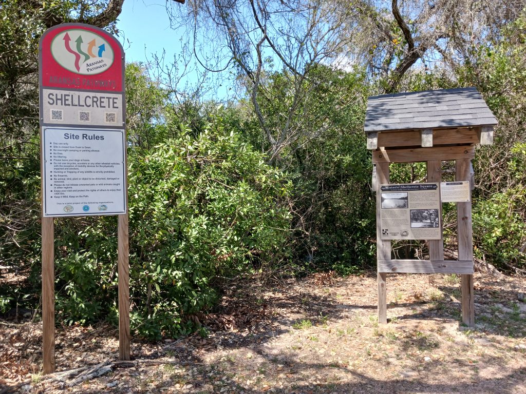
28°03’02.4″N 97°02’31.3″W (see map) 2550 Hwy 35 N, Rockport, TX 78382 Spring Species – Scarlet and Summer Tanagers, Blue Grosbeak, Rose-breasted Grosbeak, Indigo and Painted Buntings, Baltimore and Orchard Orioles, 27 species of Wood Warbler including Ovenbird, Prothonotary and Canada Warblers, Brown-crested and Great-crested Flycatchers, Solitary Sandpiper. Fall and Winter Species – American Goldfinch, Lincoln’s, Swamp, and chipping Sparrows, Orange-crowned Warbler, Pine Warbler, Yellow-rumped Warbler, Mourning Warbler, Hermit Thrush, Blue-headed Vireo. Shellcrete Birding Site Location – Shellcrete is located on Hwy 35 next to Tule Creek. This is an 11 acre wooded birding site. Tule Creek runs beside the woods. Use the parking lot at the Aransas Pathways Center – Pavilion & Bridge site (Tule West) and walk the bridge or sidewalk to access Shellcrete Birding and Nature site.
Rockport Beach Route
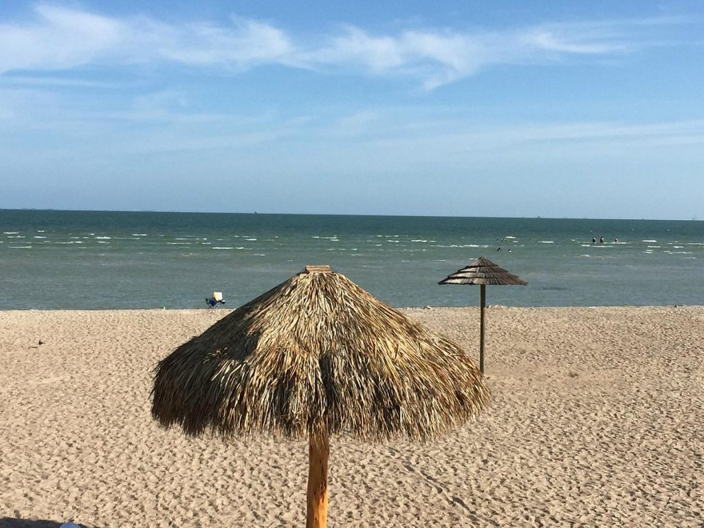
319 Broadway St,, Rockport, TX 78382 (see map) Beginning at Rockport Beach Park, this route highlights Rockport Beach, Rockport Harbor, downtown Rockport, historic Water Street, Tule Creek Hike & Bike Trail and scenic Key Allegro on Aransas Bay. Approximately 13.5 miles. When cycling in Aransas County, as is the case on any public street, always wear a helmet and bright, highly visible clothing. It is also recommended to have a flashing red safety light mounted behind the saddle. Always ride with the flow of traffic, unless routes converge with sidewalks, and please obey all traffic laws and regulations. GREEN – HIGH EASE OF USE: Bike lanes, wide curbed lanes or low traffic volume residential streets. Some sidewalk connections.BLUE – MODERATE EASE OF USE: Generally low to moderate traffic volumes. May have wide outer lane, wide shoulder or shoulder with rumble strip.RED – LOW EASE OF USE: Higher traffic volumes, or narrow lanes with narrow shoulder or no shoulder, difficult connections for some cyclists. This link will download a kmz file which can be read and used by Google Earth to put all the Aransas Pathways Bike Trails on your map. Click here to download. Google Earth streams the world over wired and wireless networks enabling users to virtually go anywhere on the planet and see places in photographic detail. This is not like any map you have ever seen. This is a 3D model of the real world, based on real satellite images combined with maps, guides to restaurants, hotels, entertainment, businesses and more. You can zoom from space to street level instantly and then pan or jump from place to place, city to city, even country to country.Get Google Earth. Put the world in perspective.Google Earth is available here.
Live Oak Peninsula Route
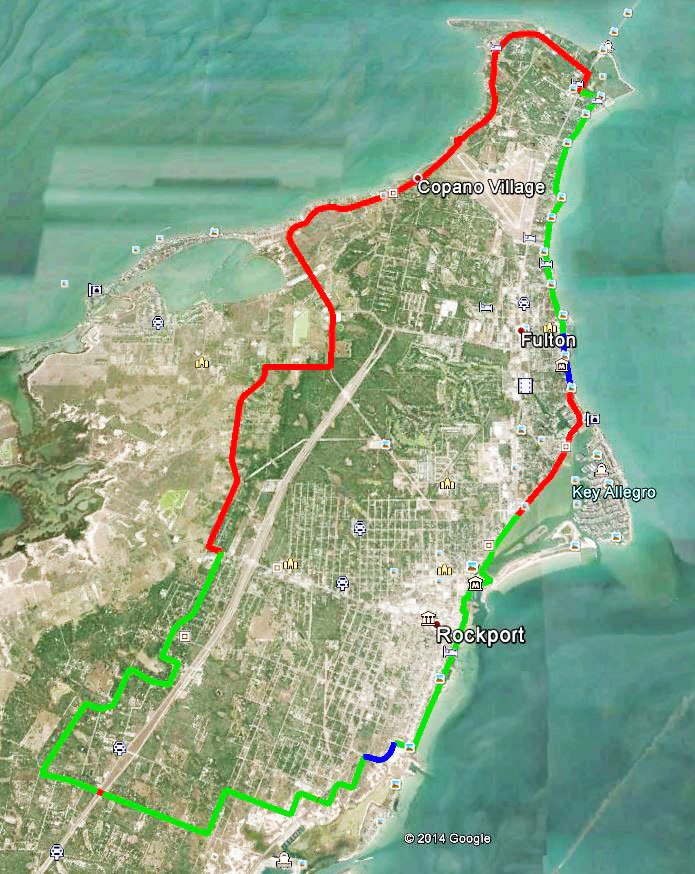
Loop 1781, Rockport, TX 78382 28°05’44.0″N 97°03’05.2″W (see map) Beginning at Howard Murph Park, this route encompasses most of Live Oak Peninsula and incorporates many of the sights and experiences found in the Fulton Harbor and Rockport Beach routes. Approximately 25 miles When cycling in Aransas County, as is the case on any public street, always wear a helmet and bright, highly visible clothing. It is also recommended to have a flashing red safety light mounted behind the saddle. Always ride with the flow of traffic, unless routes converge with sidewalks, and please obey all traffic laws and regulations. GREEN – HIGH EASE OF USE: Bike lanes, wide curbed lanes or low traffic volume residential streets. Some sidewalk connections.BLUE – MODERATE EASE OF USE: Generally low to moderate traffic volumes. May have wide outer lane, wide shoulder or shoulder with rumble strip.RED – LOW EASE OF USE: Higher traffic volumes, or narrow lanes with narrow shoulder or no shoulder, difficult connections for some cyclists. This link will download a kmz file which can be read and used by Google Earth to put all the Aransas Pathways Bike Trails on your map. Click here to download. Google Earth streams the world over wired and wireless networks enabling users to virtually go anywhere on the planet and see places in photographic detail. This is not like any map you have ever seen. This is a 3D model of the real world, based on real satellite images combined with maps, guides to restaurants, hotels, entertainment, businesses and more. You can zoom from space to street level instantly and then pan or jump from place to place, city to city, even country to country.Get Google Earth. Put the world in perspective.Google Earth is available here.
Aransas County Grand Tour Route
Starting Point – 121 Cove Harbor N, Rockport, TX 78382 (see map Beginning at Cove Harbor Marina, this bike route encompasses Aransas Pass, Fulton and Rockport. Points of interest along the route are Conn Brown Harbor in Aransas Pass, Howard Murph Park on Live Oak Peninsula, scenic Fulton Beach Road, the town of Fulton, historic town center of Rockport and scenic Water Street in Rockport. This entire route is an advanced ride for experienced cyclists, and many of the highlights of this ride can be found in the shorter routes designed for Aransas Pathways cyclists. Approximately 40 miles When cycling in Aransas County, as is the case on any public street, always wear a helmet and bright, highly visible clothing. It is also recommended to have a flashing red safety light mounted behind the saddle. Always ride with the flow of traffic, unless routes converge with sidewalks, and please obey all traffic laws and regulations. GREEN – HIGH EASE OF USE: Bike lanes, wide curbed lanes or low traffic volume residential streets. Some sidewalk connections.BLUE – MODERATE EASE OF USE: Generally low to moderate traffic volumes. May have wide outer lane, wide shoulder or shoulder with rumble strip.RED – LOW EASE OF USE: Higher traffic volumes, or narrow lanes with narrow shoulder or no shoulder, difficult connections for some cyclists. This link will download a kmz file which can be read and used by Google Earth to put all the Aransas Pathways Bike Trails on your map. Click here to download. Google Earth streams the world over wired and wireless networks enabling users to virtually go anywhere on the planet and see places in photographic detail. This is not like any map you have ever seen. This is a 3D model of the real world, based on real satellite images combined with maps, guides to restaurants, hotels, entertainment, businesses and more. You can zoom from space to street level instantly and then pan or jump from place to place, city to city, even country to country.Get Google Earth. Put the world in perspective.Google Earth is available here.
Tule Creek Hike and Bike Trail
2429 Hwy 35 N, Rockport, TX 78382 (see map) Tule Creek Hike and Bike Trail is open from sunrise to sunset and is just over 1 mile (1.08 mi.) starting at the trail head at the north entrance of Walmart (turn right into the parking area in front of the gazebo) and connects via Enterprise Blvd. to the Memorial Park trail system.