361-729-6445   manager@aransaspathways.com
Aransas Pathways
What are your Pathways in Rockport, Fulton and Aransas County?
  • Home
  • Birding
  • History
  • Hike – Bike
  • Kayaking
  • Plants and Botanicals
  • News & Help Needed
logo

Goose Island State Park Fishing Pier

Home → Kayaking → Goose Island State Park Fishing Pier

202 S. Palmetto, Rockport, TX 78382

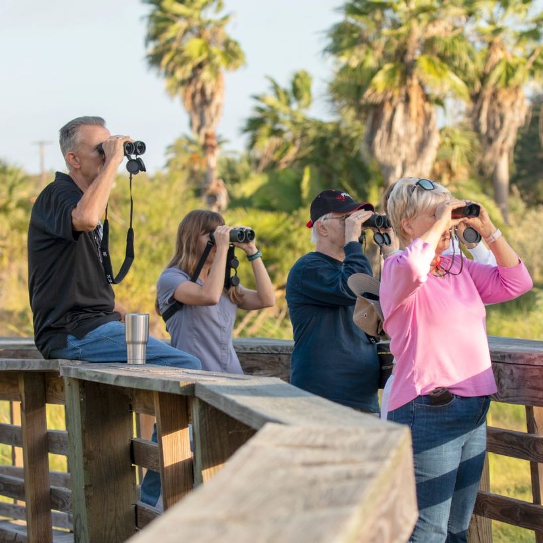
Goose Island St. Park Fishing Pier Located at the West end of the Fishing Pier on Goose Island, this is an excellent beginners launch area. Protected from the prevailing SE wind it affords access to fishing and birding.


Dennis On February 7, 2016   /   Kayaking  
Lamar Navigation District Dock
 Previous Post
Lamar Navigation District Dock
Copano Bay Fishing Pier North
Next Post  
Copano Bay Fishing Pier North

Videos from the History Center

Chisholm Trail with Bryan Gonzales

Our Partners

The History Center for Aransas County
Aransas Bird and Nature Club
Aransas County
Aransas County Historical Commission
Aransas County Historical Society
Aransas/San Patricio Master Gardeners
City of Rockport
Rockport-Fulton Chamber of Commerce
Town of Fulton

Printed Map of Sites

A printed 'take it with you' map of the Aransas Pathways project sites is available for your use now. The Birding and Kayak sites are over-laid on a map of the full Live Oak and Blackjack Peninsulas with a legend. The inside of this folded map are aerial shots of the area with the Bike trails marked with their Ease of Use level. Expanded views of Downtown Rockport and Downtown Fulton with a legend of Historical sites is also included. Plan your custom tours with this valuable map.

Click here to download your personal copy.
Map is also available at the Rockport-Fulton Visitor's Center.

Our Partners

The History Center for Aransas County
Aransas Bird and Nature Club
Aransas County
Aransas County Historical Commission
Aransas County Historical Society
Aransas/San Patricio Master Gardeners
City of Rockport
Rockport-Fulton Chamber of Commerce
Town of Fulton

Videos from the History Center

Chisholm Trail with Bryan Gonzales

Printed Map of Sites

A printed 'take it with you' map of the Aransas Pathways project sites is available for your use now. The Birding and Kayak sites are over-laid on a map of the full Live Oak and Blackjack peninsulas with a legend. The inside of this folded map are aerial shots of the area with the Bike trails marked with their Ease of Use level. Expanded views of Downtown Rockport and Downtown Fulton with a legend of Historical sites is also included. Plan your custom tours with this valuable map.

Click here to download your personal copy.

© 2010-2020 Aransas Pathways • Website Design & Services by Rockport Web Sites | Entries (RSS)
Back to Top